State of Rhode Island
Rhode Island’s 39 municipalities maintained land use data in vastly different formats, preventing statewide analysis and coordinated planning. HR&A partnered with the Rhode Island Division of Statewide Planning and Go Consulting Services to standardize zoning, current land use, and future land use datasets, creating unified GIS data and interactive visualization tools that enable data-driven planning for growth and conservation through 2050.
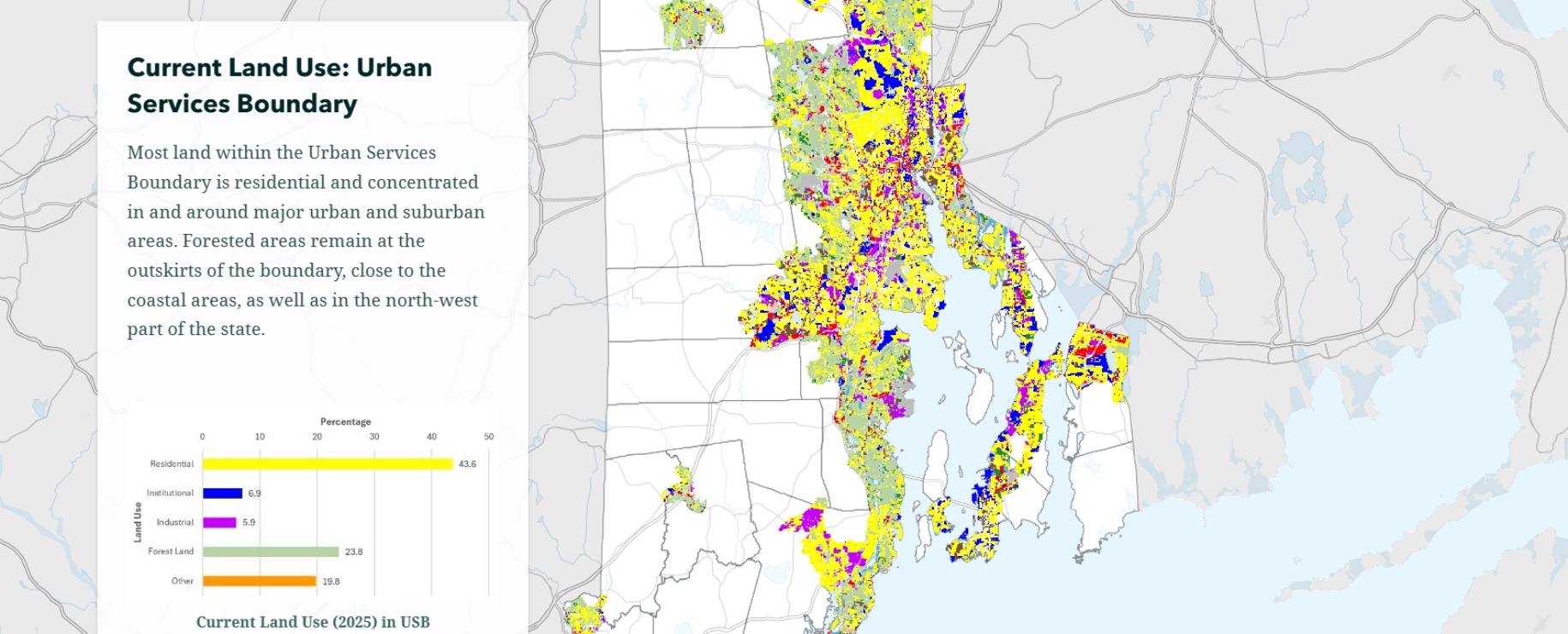
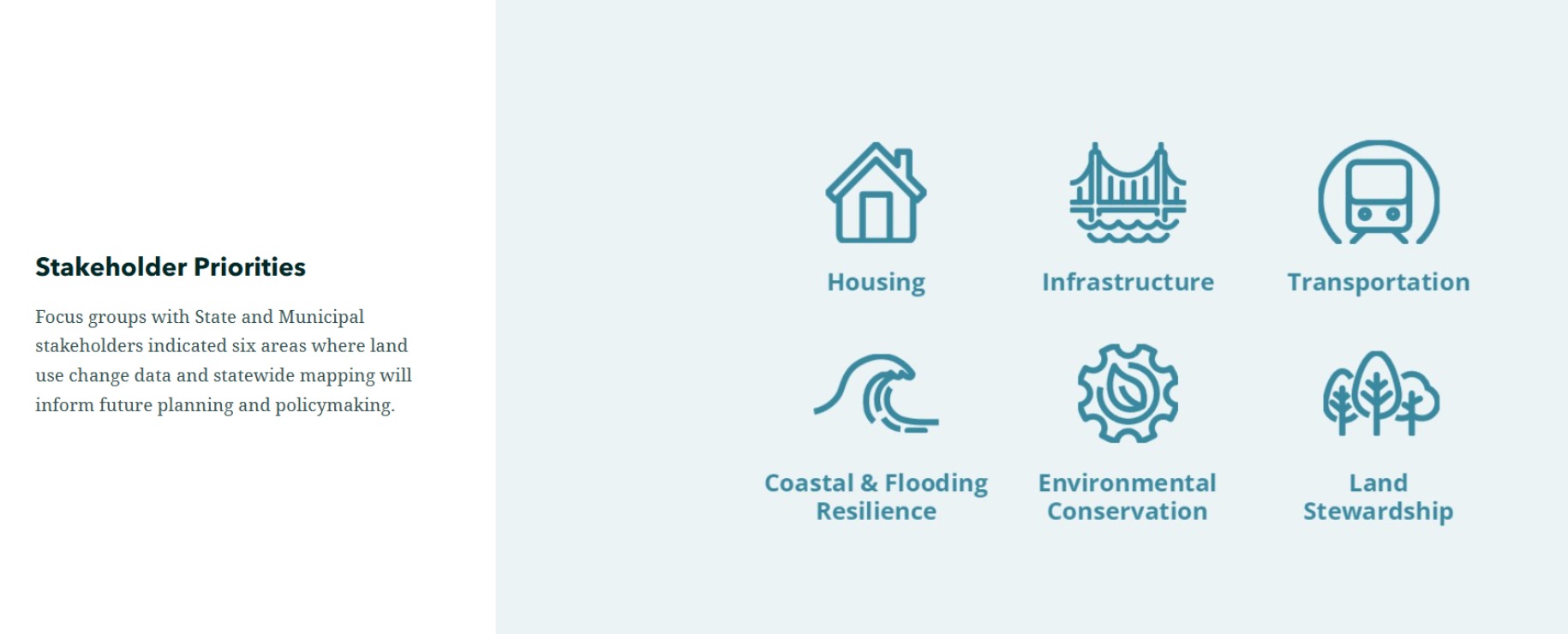
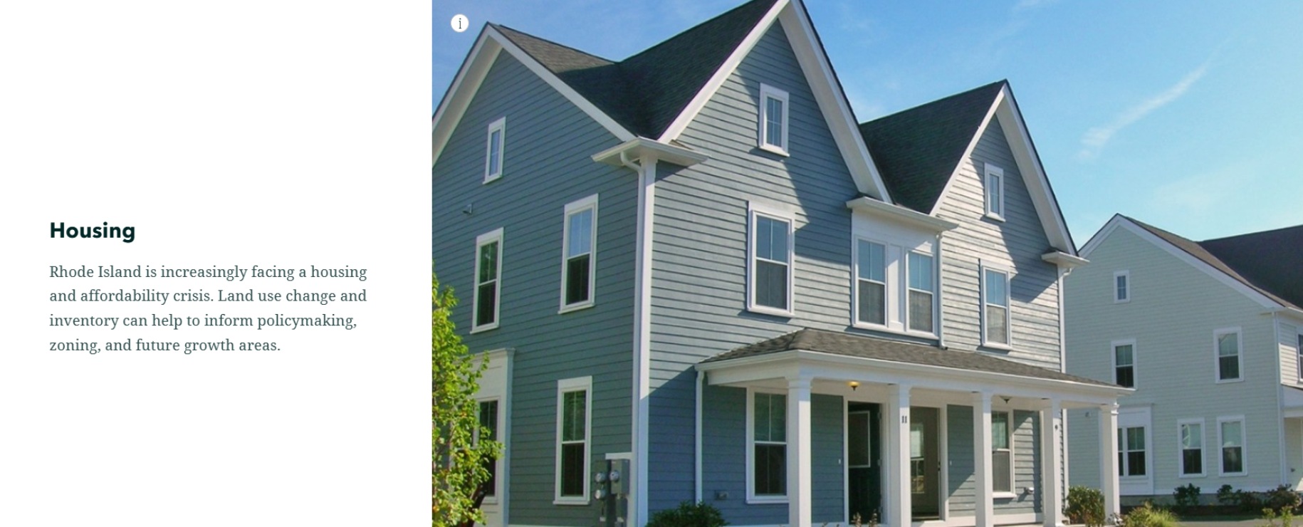
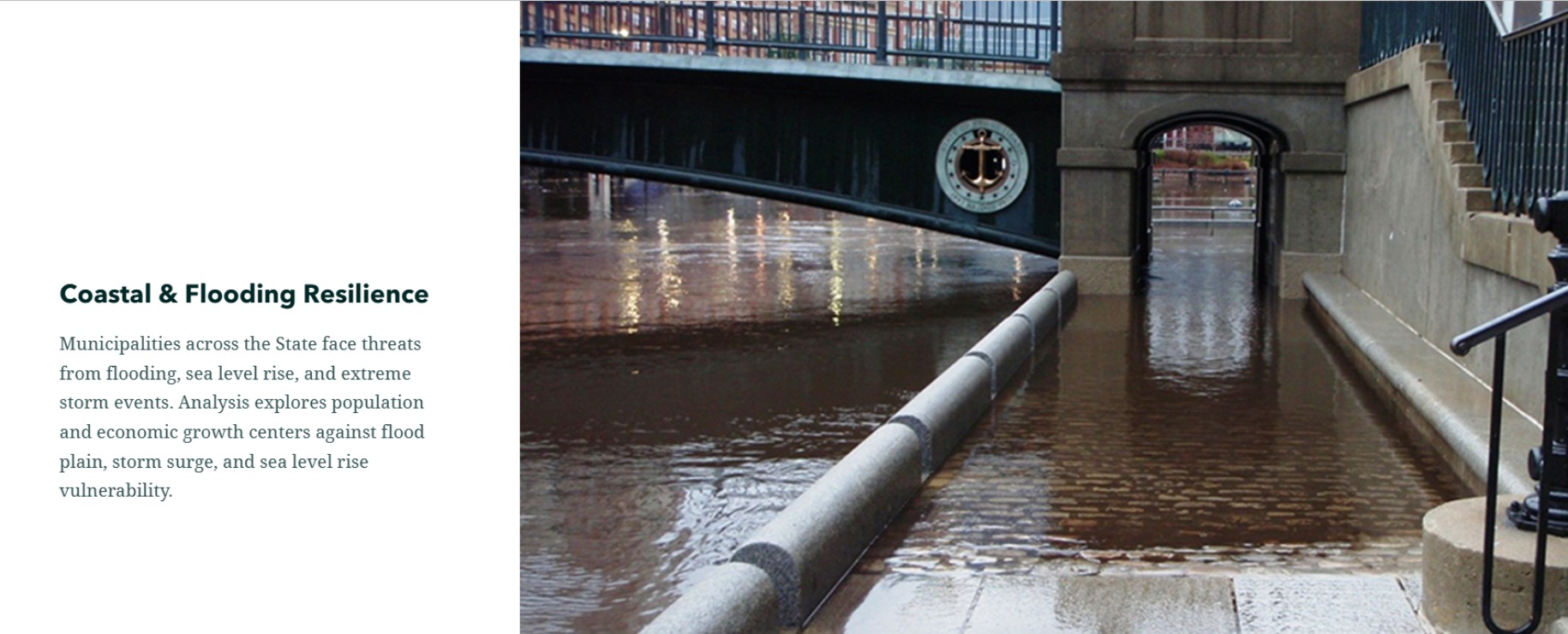
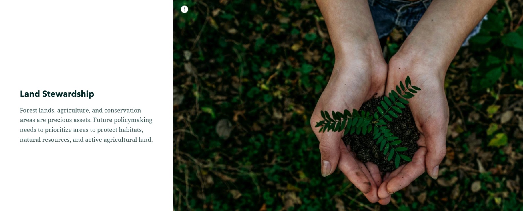
The state needed to understand how land uses had changed over time and where future development, conservation, and infrastructure should be prioritized. Working with all 39 municipalities and the Narragansett Indian Tribe, HR&A collected and quality-checked datasets. We developed crosswalks aligning local coding systems with statewide categories, manually resolved inconsistencies, and created a reproducible ArcGIS Pro process converting disparate local inputs into standardized datasets suitable for policy analysis. Building on this foundation, we analyzed land use changes revealing that between 2011-2020, the Urban Services Boundary added over 2,500 acres of residential land, much overlapping within a half-mile of public transit, while 420 acres of new residential development occurred in 100-year flood zones, conflicting with climate resilience goals.
The analysis identified opportunities for Rhode Island to concentrate future development in transit-accessible areas while conserving sensitive lands and mitigating flood risk. HR&A created an interactive StoryMap making data and findings accessible in visual, intuitive format, strengthening transparency and engagement. All data is publicly available for use by municipalities, state departments, agencies, community groups, and academics. Together, these tools equip Rhode Island with a consistent, scalable framework to inform land use policy, infrastructure investment, and conservation strategy through 2050, ensuring planning decisions are grounded in reliable data, aligned across jurisdictions, and responsive to long-term community needs